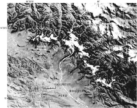
Cordillera Apolobamba
The Cordillera Apolobamba is at the northwestern end of the Bolivian Cordillera Real. In Peru, it extends about 35 km east between lat 14°35' and 14°45'S. and long 69°14' and 69°34'W. The glacierized area, estimated from Landsat images, covers 102 km². The highest peak, Nevado Ananea, is at 5,852 m asl. The drainage is both south into the Titicaca basin and north into the Atlantic Ocean by Río Inambari. The next figure shows this area on a Landsat image.


